
GEO
Training
GEOLAG: Preparation for Biology and Geology opposition exams and geology courses
Opposition Exam Preparation
Practical Geology
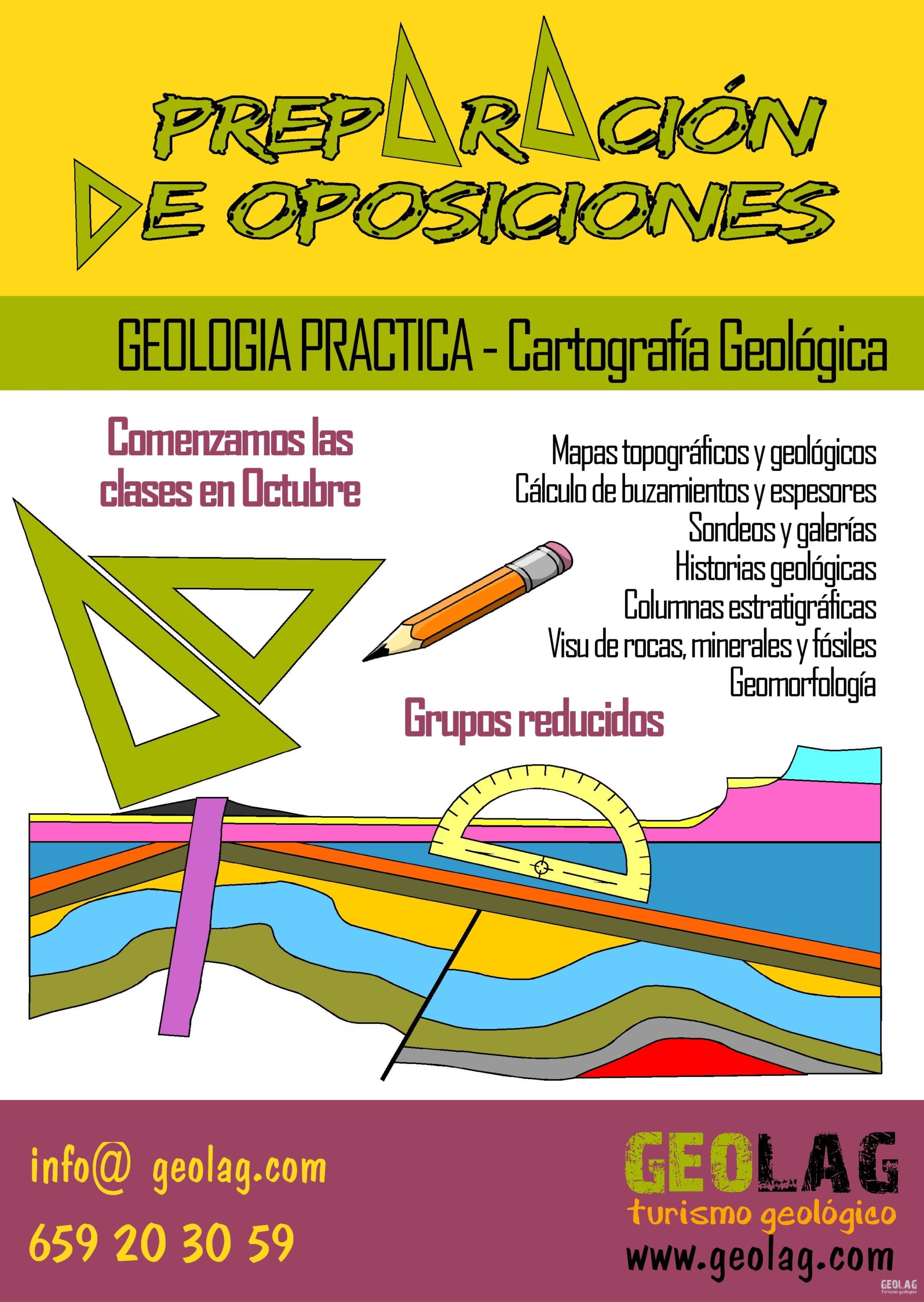
Opposition exam preparation: practical geology and geological cartography.
At GEOLAG, we offer preparation classes for opposition exams in small groups.
Classes begin in October. The syllabus covers the following subjects:
- Topographic and geological maps.
- Calculation of dips and thicknesses.
- Boreholes and galleries.
- Geological histories.
- Stratigraphic columns.
- Visu of rocks, minerals, and fossils.
- Geomorphology.
Request more information using the contact button.
Frequently asked questions about
Geology training
Does GEOLAG prepare Biology and Geology opposition exams?
Yes. GEOLAG offers specific preparation for the practical Geology section of Biology and Geology opposition exams, including geological maps, cross-sections, geological histories, geomorphology, and visu.
Are the opposition classes online?
Yes. Preparation classes are conducted online, in small groups, with exercises adapted to each person’s level.
What content is covered in the practical Geology exam?
The course covers topographic and geological maps, geological cross-sections, calculation of dips and thicknesses, boreholes, galleries, stratigraphic columns, geological histories, geomorphology, and visu of rocks, minerals, and fossils.
Does GEOLAG offer courses for educators and groups?
Yes. GEOLAG designs courses, lectures, and thematic excursions for educators, educational centers, organizations, associations, and groups interested in geology and natural heritage.
Preparation for the Practical Geology Exam
Biology and Geology Opposition Exams
Do you want to secure your position as a Biology and Geology teacher? At GEOLAG, we help you prepare the Geology section of the opposition exams in a specific, practical manner adapted to your level.
Our online classes, dynamic and organized, focus on what truly matters: mastering the practical exam. We will work thoroughly on the most common exercises:
- Interpretation and resolution of cross-sections to answer questions or explain the geological history behind them.
- Analysis of real geological maps, with exercises on calculating dips, boreholes, galleries, thicknesses, and other parameters.
- Construction of cross-sections from geological maps.
- Specific preparation for the visu section, with support from specialists in rocks, minerals, and fossils, so you can recognize the most typical specimens in this type of exam.
Additionally, we work in small groups, which allows us to adapt the pace and approach to each person’s needs and knowledge, whether you are starting from scratch or already have experience.
At GEOLAG, we offer you tools, methodology, and support to face the practical Geology exam with solid preparation.
In small groups, we adapt to each level of knowledge.
Do not hesitate to contact us to prepare your opposition exam!
Syllabus
The Fundamentals of Geological Maps
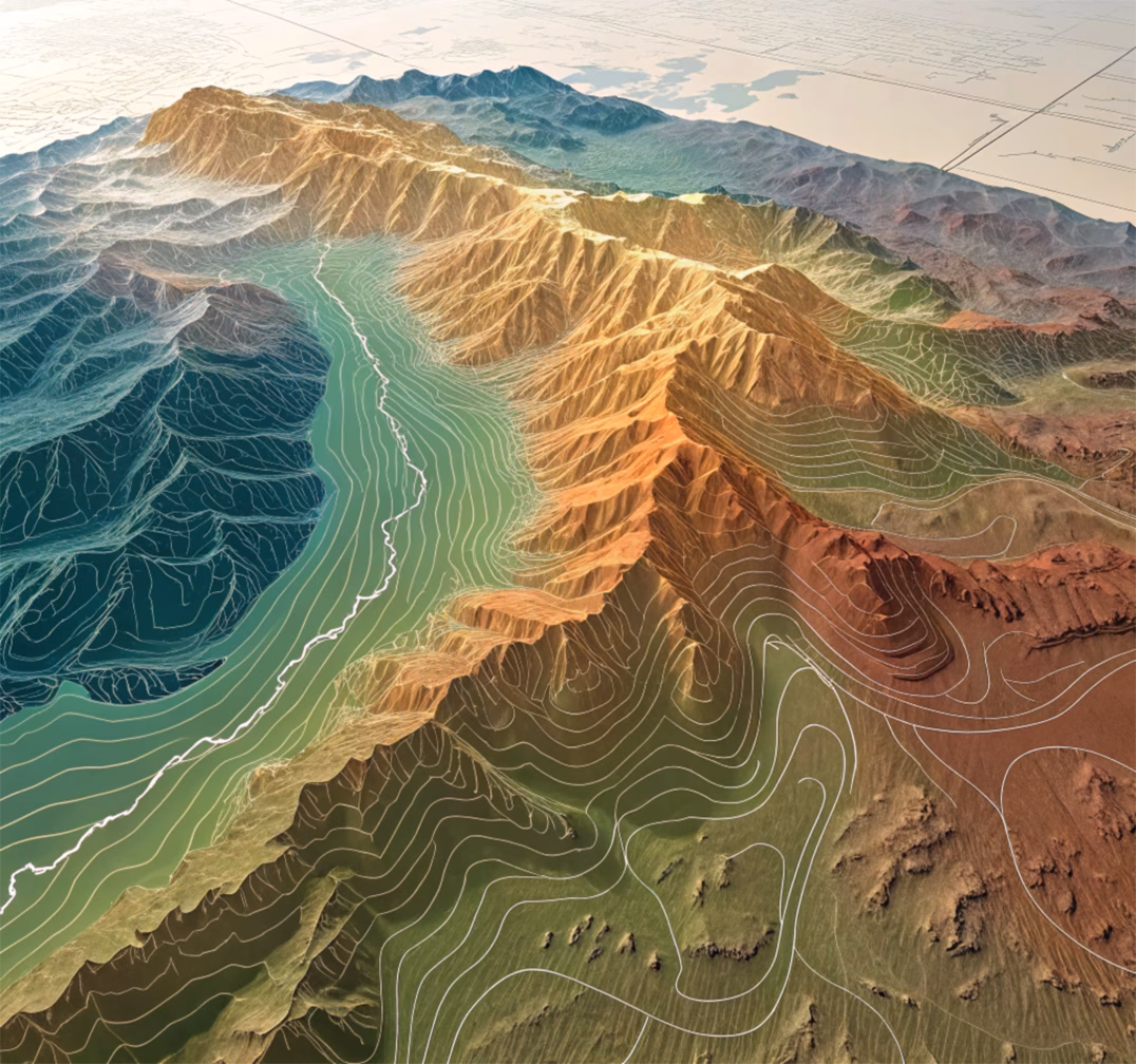
Learn to apply all the concepts and use all the necessary tools to work with geological maps.
PROGRAM
The Topographic Map
- Types of maps
- Elements of a topographic map
- Relief forms
- Drainage basins
- Lines and divides
- Geological information from a topographic map
- Topographic profile
- Scale management
- Exercises
The Geological Map
- Applications
- Symbology
- Plane notation
- Arrangement of geological layers
- Rule of V’s
- Elements of geological cross-sections
- How to create stratigraphic columns
- Exercises
Duration 9 hours
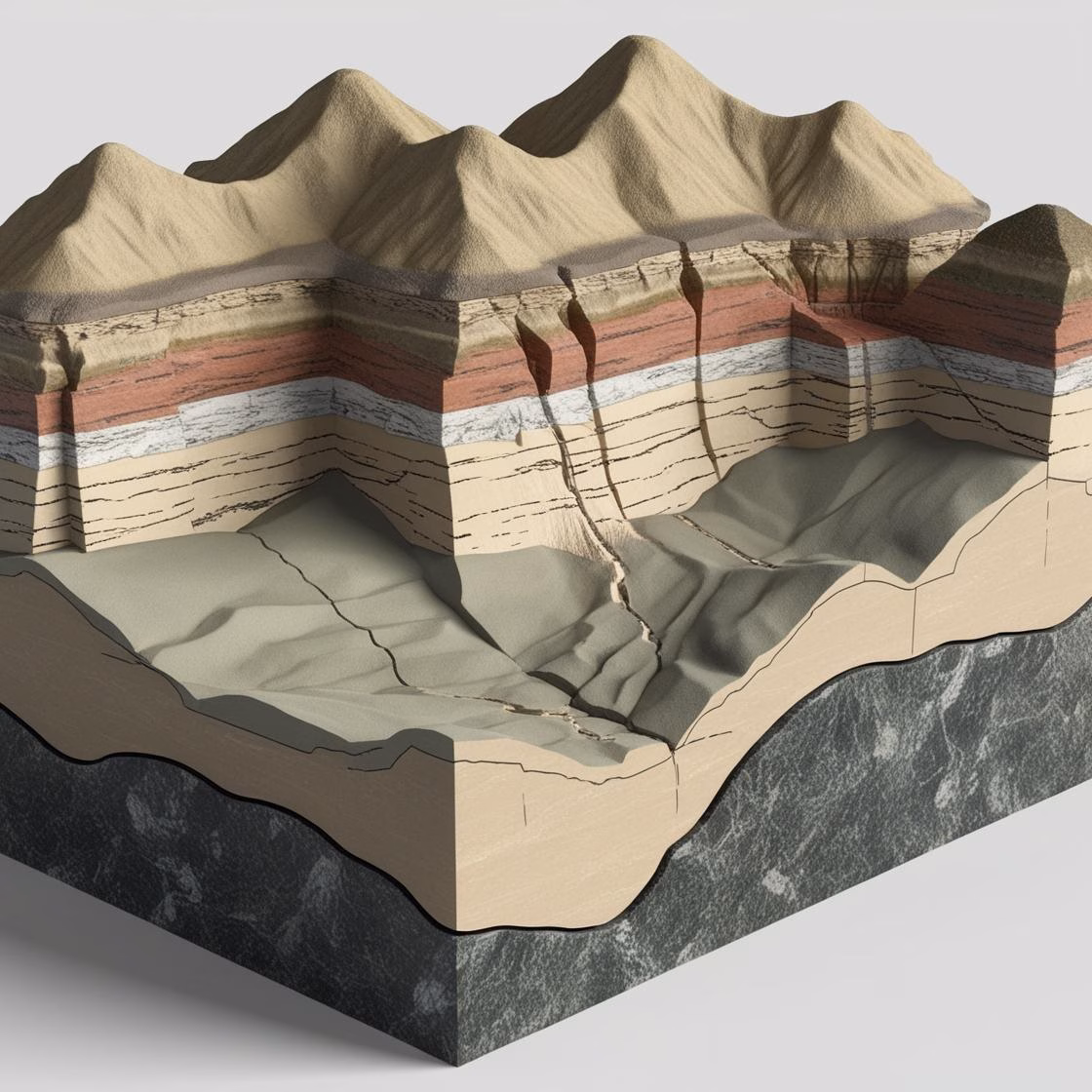
How to Create Geological Cross-Sections?

Learn to create geological cross-sections from scratch by interpreting structures and applying trigonometry concepts to calculate dips and layer thicknesses.
PROGRAM
- Order of the stratigraphic sequence
- Plane horizontals
- Use of set square, triangle, and protractor
- Calculation of true and apparent dip
- Calculation of layer thickness
- Three-point problem
- Outcrop prediction
- Recognition of folds, faults, and unconformities
- Exercises
Duration 24 hours
How to Tell Geological Histories?
Learn to tell a good geological history through cases from other examinations in different autonomous communities.
Theoretical-practical concepts for solving geological histories with exercises dedicated to each block:
- Orogenic cycles
- Types of rocks
- Stratigraphic discontinuities
- Magmatism
- Metamorphism
- Sedimentation environments
- Folds and faults
- Deformation stages
- Structural geomorphology
- Hydrogeology
- Petroleum traps
- Resolution of complete geological histories
Duration 15 hours
Geomorphology
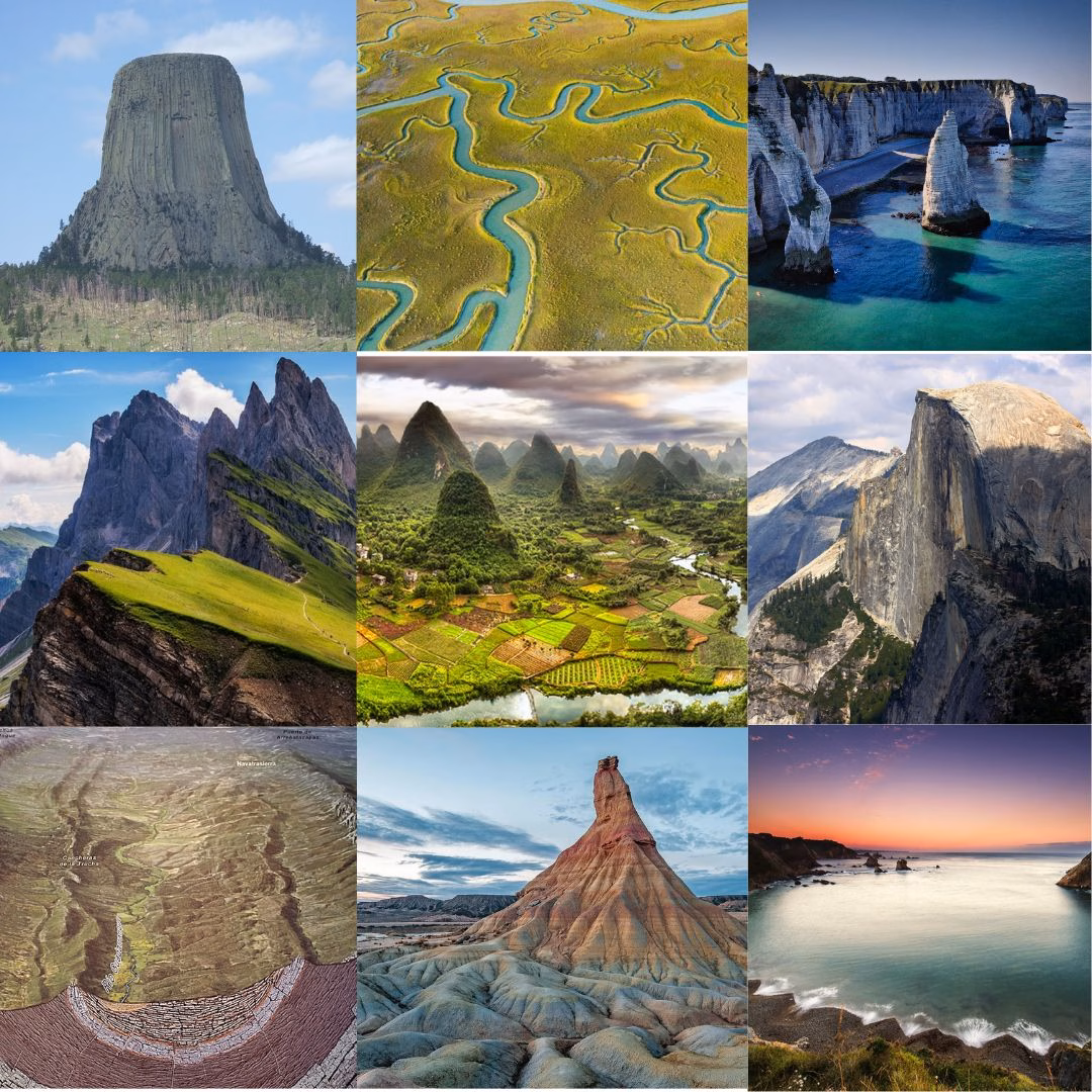
Discover the landforms that have formed across different parts of the world through interpreted photographs and diagrams.
PROGRAM
Structural landforms
- Tabular landforms
- Cuesta or monoclinal landforms
- Jurassic landforms (conformable and inverted)
- Appalachian landforms
- Germanic landforms
- Saxonian landforms
Lithological landforms
- Volcanic landforms
- Granitic landforms
- Karst landforms
- Pseudokarst landforms
Climatic landforms
- Glacial landforms
- Periglacial landforms
- Fluvial landforms
- Coastal landforms
- Desert landforms
Duration 27 hours
Visu Rocks and Minerals
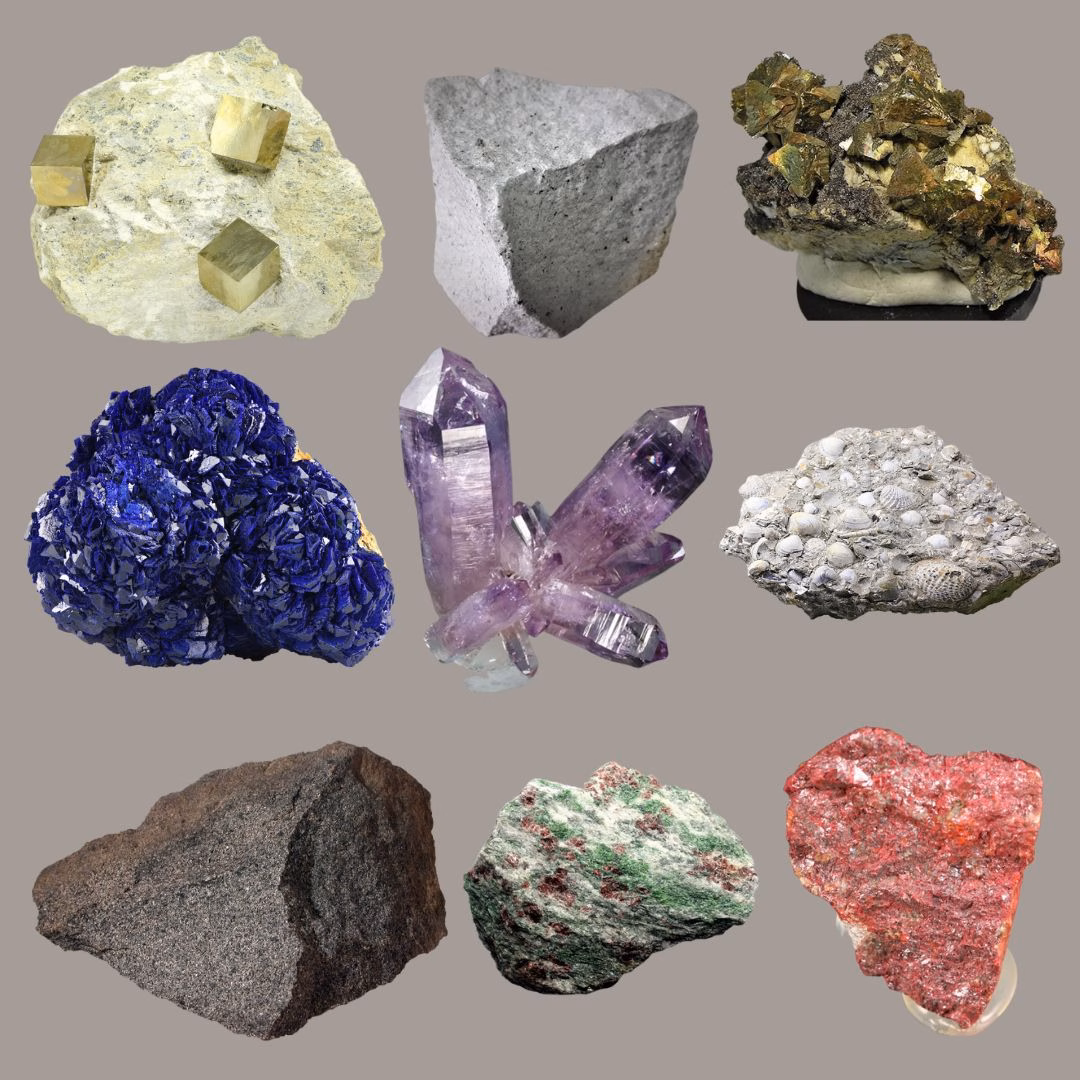
Recognize over 150 types of rocks and minerals through photographs and thin sections.
With a mock exam in each session.
- General concepts
- Native elements
- Halides
- Oxides and hydroxides
- Sulfides and sulfosalts
- Phosphates
- Sulfates
- Carbonates
- Igneous rocks. Streckeisen diagrams (QAPF)
- Metamorphic rocks
- Sedimentary rocks
Duration 12 hours
Visu of Fossils
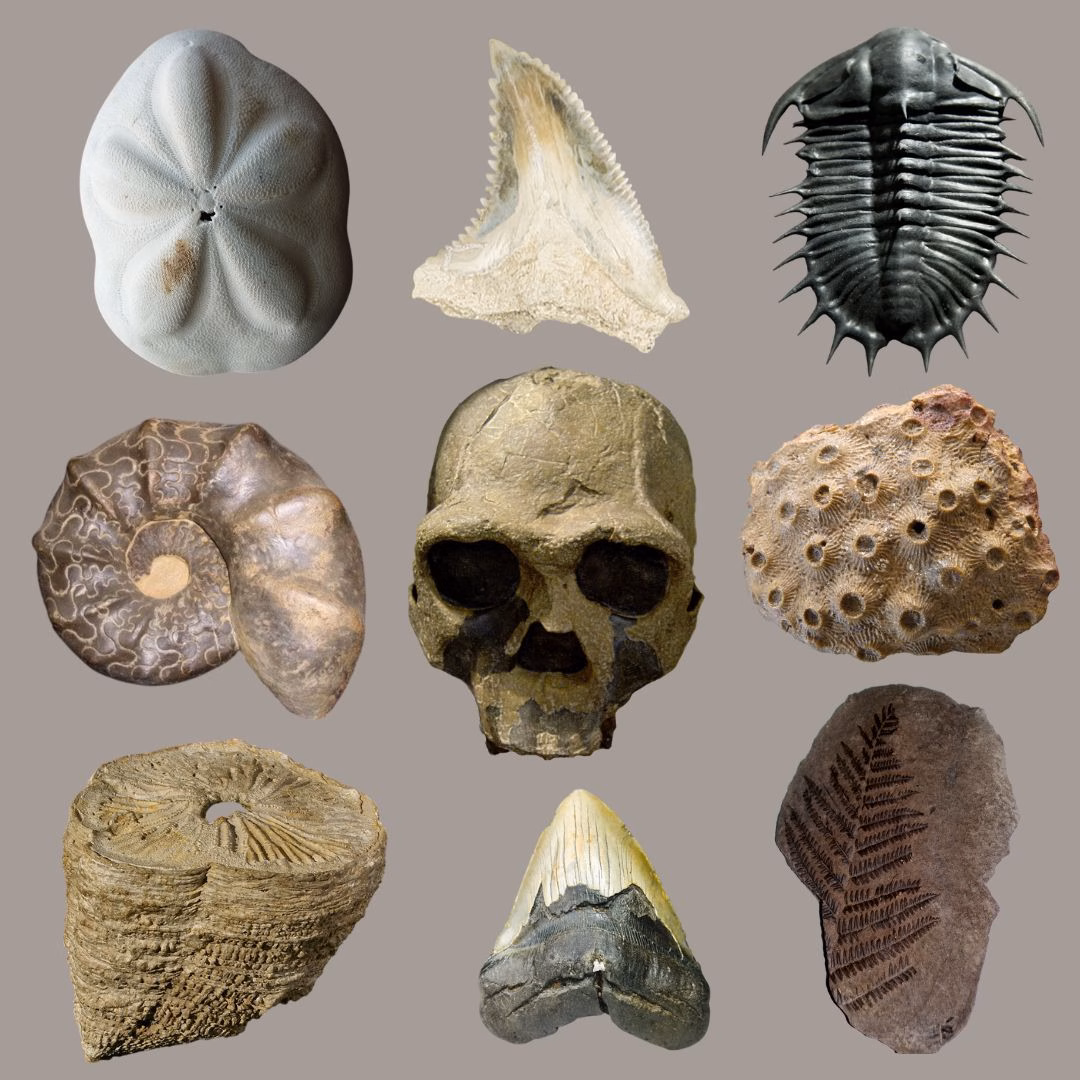
Recognize over 60 types of fossils through photographs. With a mock exam in each session.
- Foraminifera
- Archaeocyatha
- Corals
- Bryozoans
- Brachiopods
- Mollusks
- Gastropods
- Arthropods
- Echinoderms
- Graptolites
- Conodonts
- Paleobotany
- Mammals
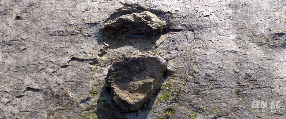
- Trace fossils
GEO
Courses
Geology Courses
Training courses
educators and tutors
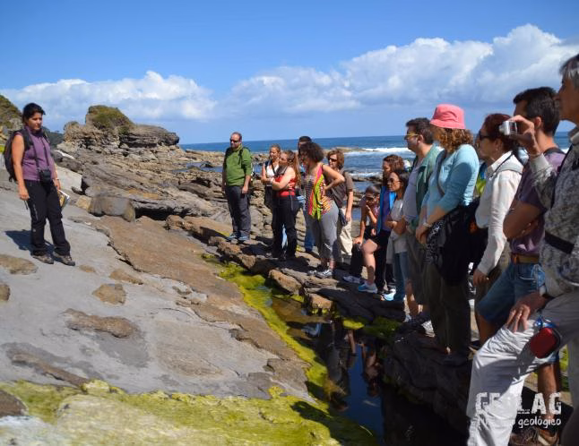
Courses, lectures, and thematic excursions
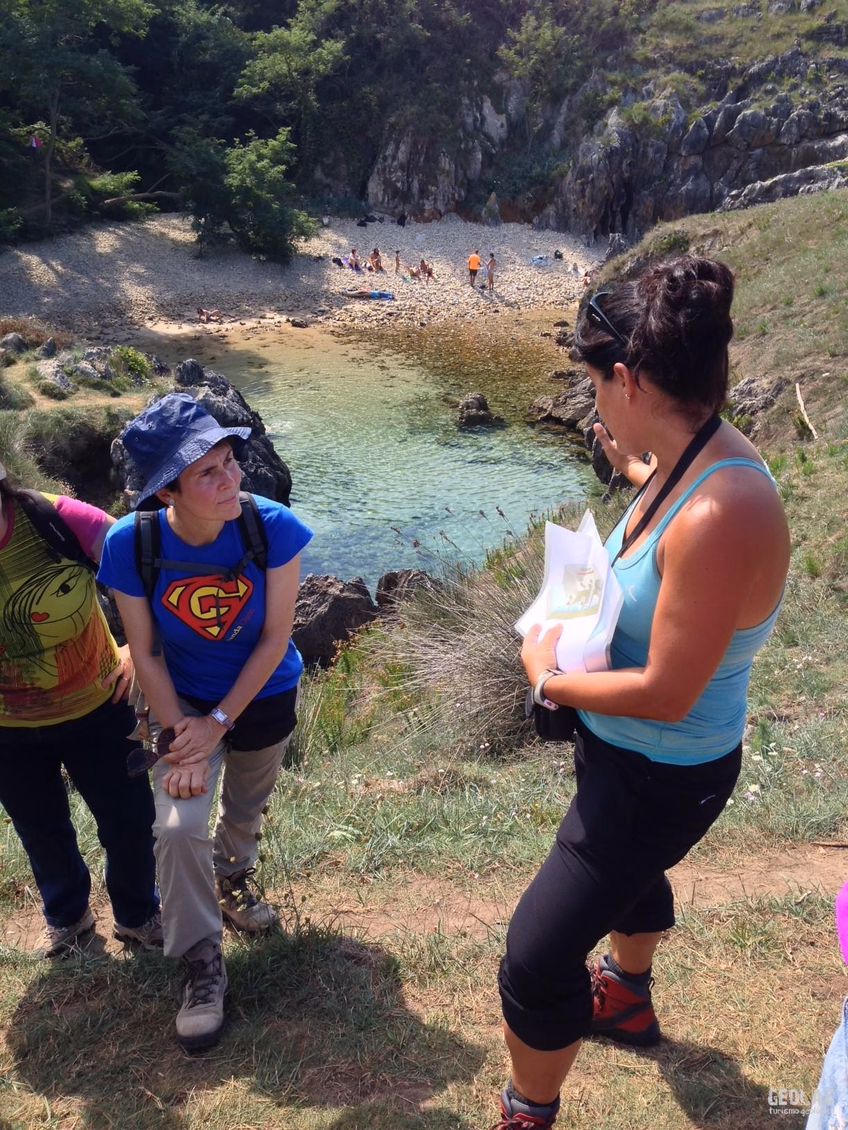
GEOLAG prepares training courses for educators or for anyone interested in learning more about our Earth. If you are a group and would like to know more about any aspect of Earth sciences, do not hesitate to contact us and we will prepare a program tailored to your needs.
Price to be agreed upon based on the contracted program
In-person activities organized directly by GEOLAG include civil liability and accident insurance, in accordance with its registration as an Active Tourism Company with the designation TA.285.AS.
Sample program
Friday
Participant reception
Participant reception and presentation of the course program.
Lecture on the Geology of Picos de Europa National Park, which we will visit the following day.
Saturday
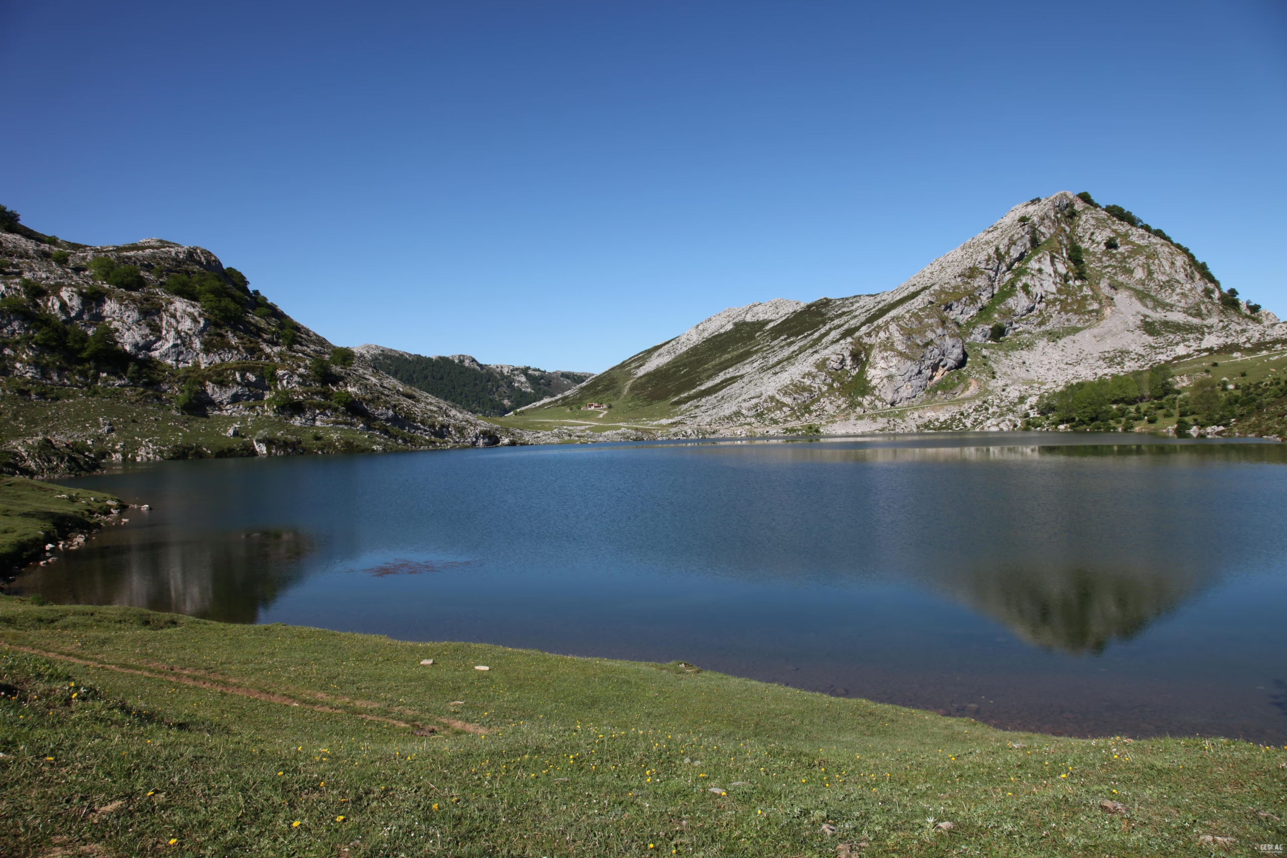
Picos de Europa National Park. Karst and ice
Hiking route through the Covadonga lakes to learn how these iconic lakes were formed. Visit to the Buferrera mines where humans exploited the Fe and Mn mineral resources hidden beneath the moraines.
Optional stop at the Covadonga Sanctuary and Cangas de Onís
Visit to the Avín Glacial Fauna Interpretation Center.
Lecture on the Geology of the eastern coast of Asturias, which we will visit the following day.
Sunday
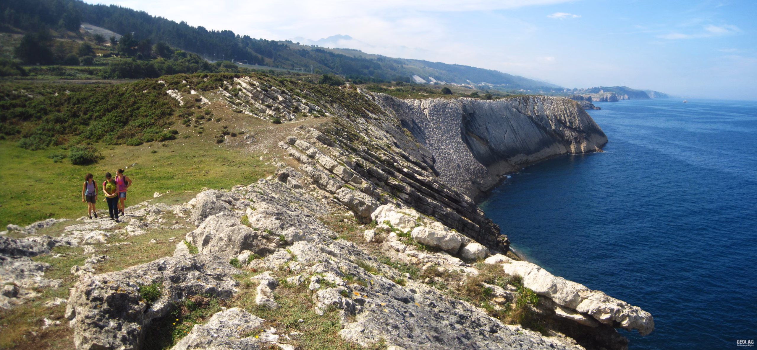
Eastern coast of Asturias. The coastal karst
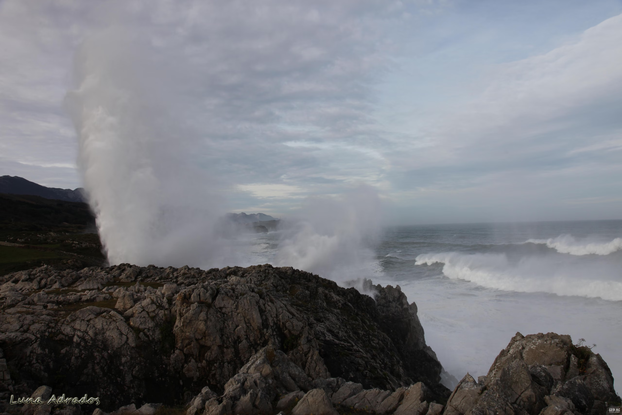
Hiking route through the Natural Monuments of Cobijeru and the blowholes of Santiuste where we will discover a wide variety of marine karst forms such as tidal sinkholes, blowholes, or rock arches, with a visit to the only inland estuary in the entire Cantabrian Sea.
The Cantabrian Mountain Range is a privileged setting for observing different geological scenarios of great scenic beauty and educational interest. In coastal areas, where rocks are free from the lush vegetation that characterizes the so-called Green Coast, a series of landscape elements are concentrated whose configuration has been essentially shaped by Geology.
Course example
These courses combine lectures and excursions to different areas of geological interest in the Cantabrian Mountain Range. Here are some examples:
- Picos de Europa National Park where karst and glaciers have been the main modeling agents.
- Karst coast of Llanes where you can observe the different elements that form part of a coastal karst such as flooded sinkholes and spectacular blowholes.
- Dinosaur Coast, where we will witness the transition from Jurassic seas to the continental areas where these great reptiles lived. In fact, Asturias has one of the best collections of dinosaur remains in the world.
- Somiedo Natural Park, where the great variety of rock types that outcrop in this sector is responsible for the rich biodiversity of Asturias’ first protected area. It contains magnificent examples of glacial and fluvial modeling.
- Ponga Natural Park
- Redes Natural Park
- Costa Quebrada Geopark (Cantabria), an impressive natural laboratory that reveals millions of years of geological history. Its cliffs, beaches, and unique rock formations narrate the evolution of the coastal landscape in the context of a large fold in Mesozoic rocks.
- Las Loras Geopark (Burgos), combines spectacular landscapes with exceptional geological richness. Recognized as a UNESCO Global Geopark, it contains formations over 200 million years old, such as imposing canyons, limestone escarpments, and singular folds that narrate the history of the Earth. Its numerous marine fossils, caves, and waterfalls, together with its biodiversity and cultural heritage, make it a paradise for lovers of nature, geology, and ecotourism.
Among the main objectives of this type of course is understanding the tectonic phenomena that have led to the formation of the Cantabrian Mountain Range, the action of the Variscan and Alpine orogenies. The formation of coastal platforms will also be addressed, of which there are magnificent examples along the entire Asturian coast and which are related to tectonic processes that have been occurring since the Tertiary.
Another objective will be the study of modeling on Carboniferous limestones in two very different environments, such as a mountain environment and a coastal environment. The different landscape elements in both environments will be differentiated.
It is also intended to achieve a greater understanding of the formation of fossils and tracks in the context of the Jurassic period, where changes in sea level have been reflected in its rocks and faunal content.
Field visits have a hiking focus, so acceptable physical condition and ability to walk on irregular and occasionally slippery terrain are required. These visits could be accompanied by visits to related tourist facilities such as the Glacial Fauna Museum and the Jurassic Museum of Asturias.
Transportation
Transportation will be the responsibility of participants, recommending the use of the minimum number of vehicles or the hiring of a bus, on the one hand as an energy-saving measure and on the other due to limited parking space at some of the stops.