Geological outreach, interpretive panels, and cartography
Interpretive panels
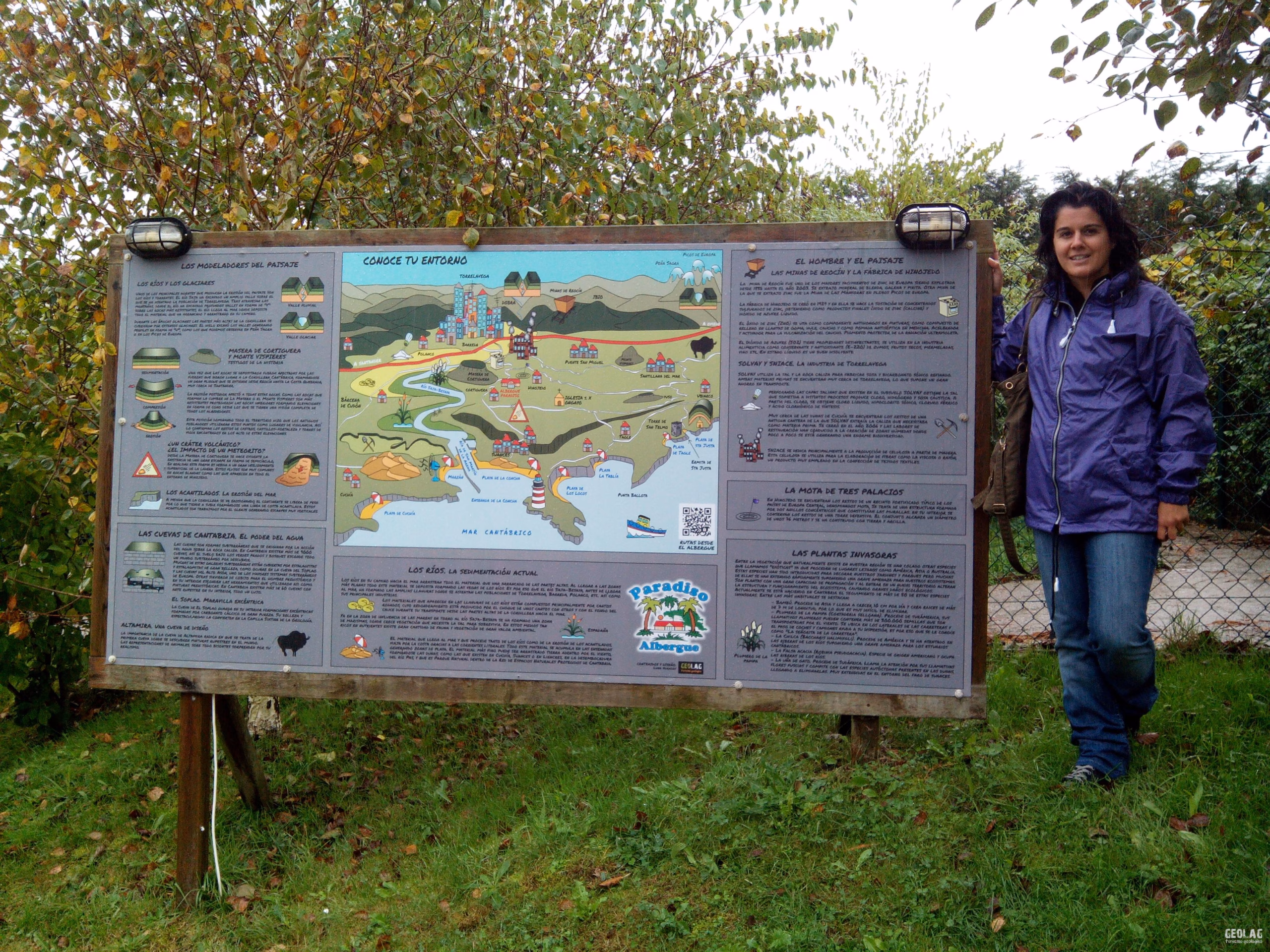
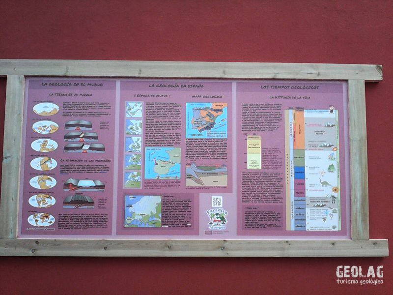
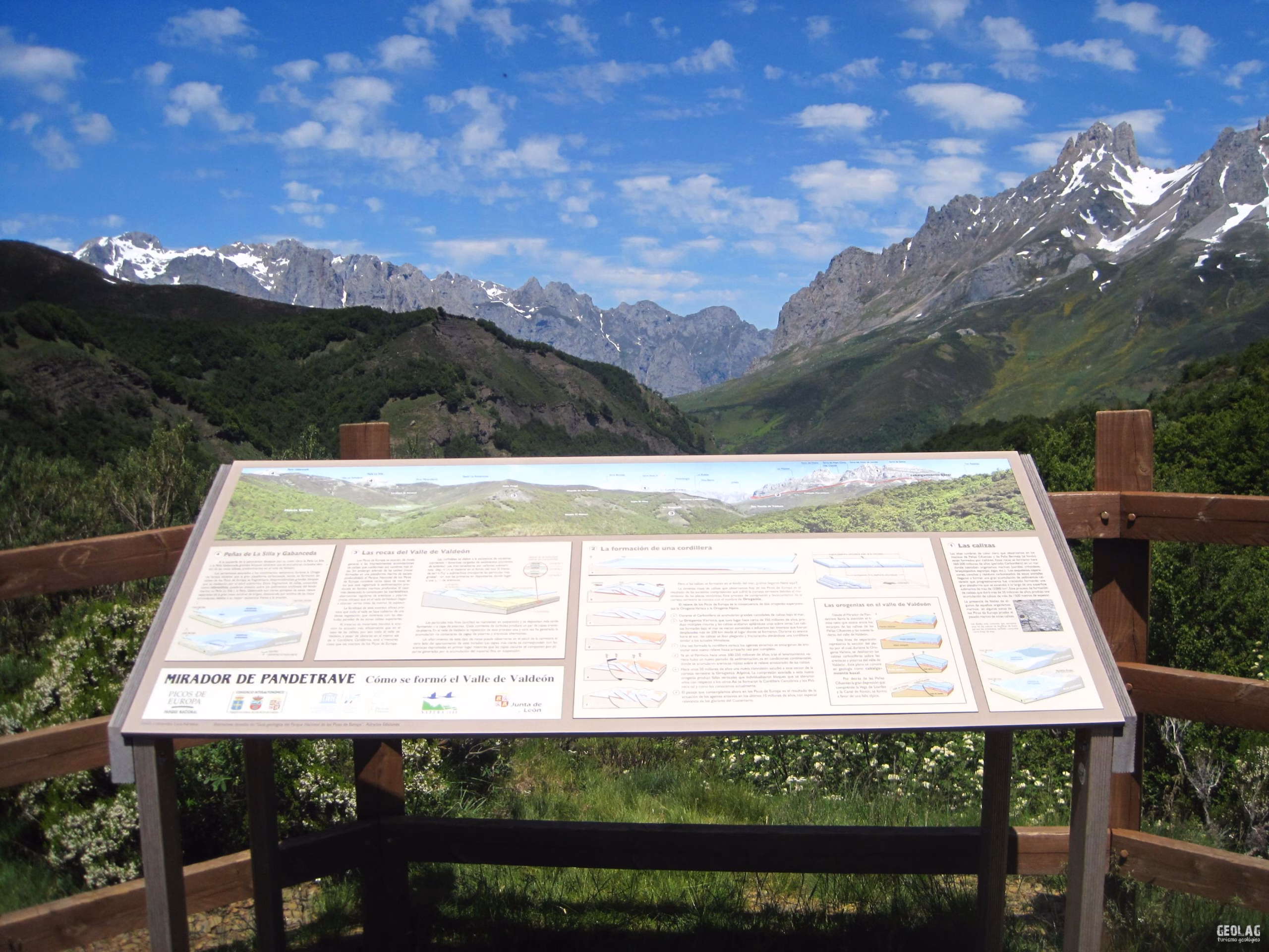
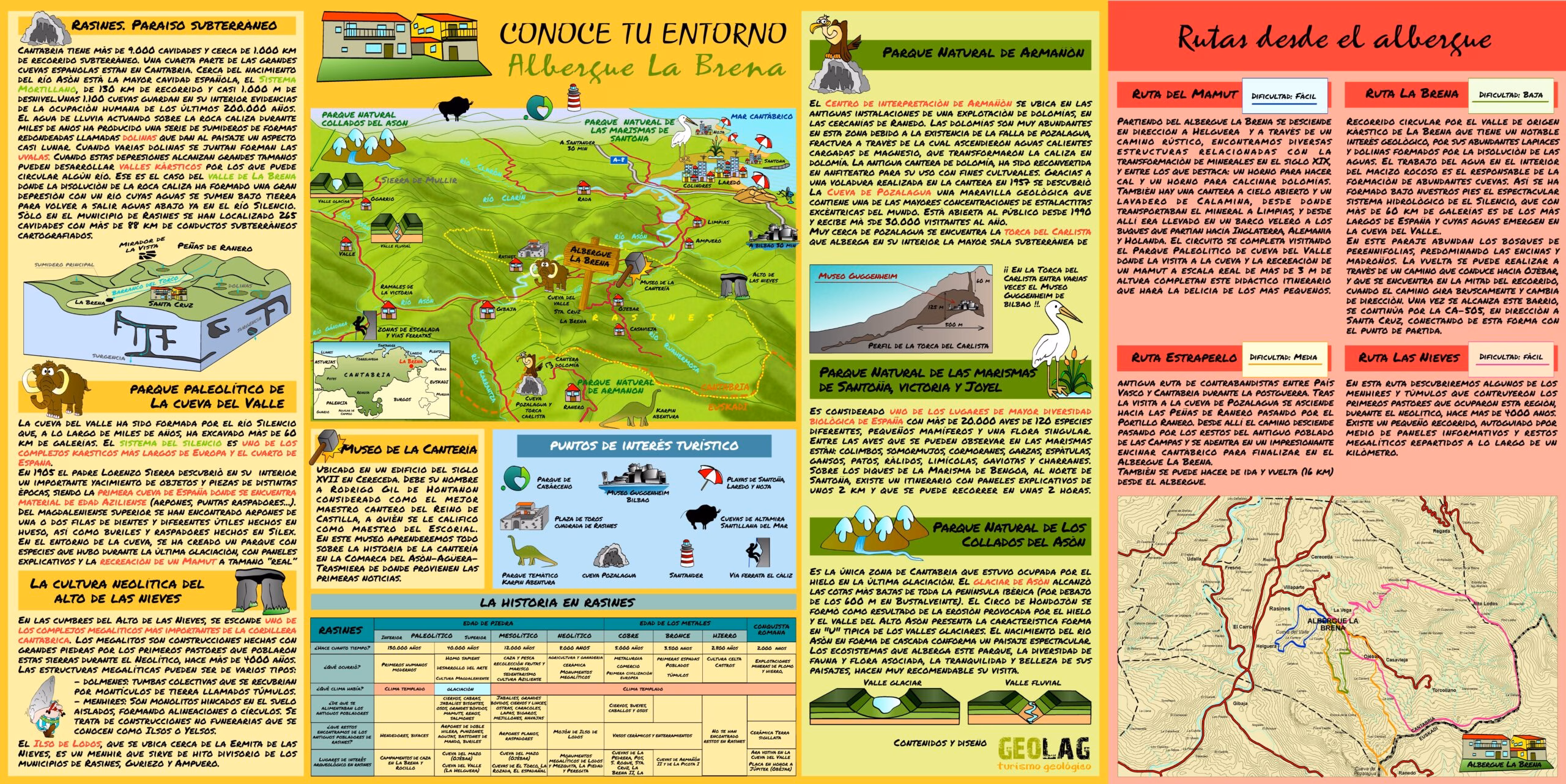
Understanding the environment
Visual panels offering information about the environment
GEOLAGdevelops geological outreach resources to help interpret the landscape, understand natural heritage, and communicate the history of the Earth in a clear, visual, and rigorous manner.
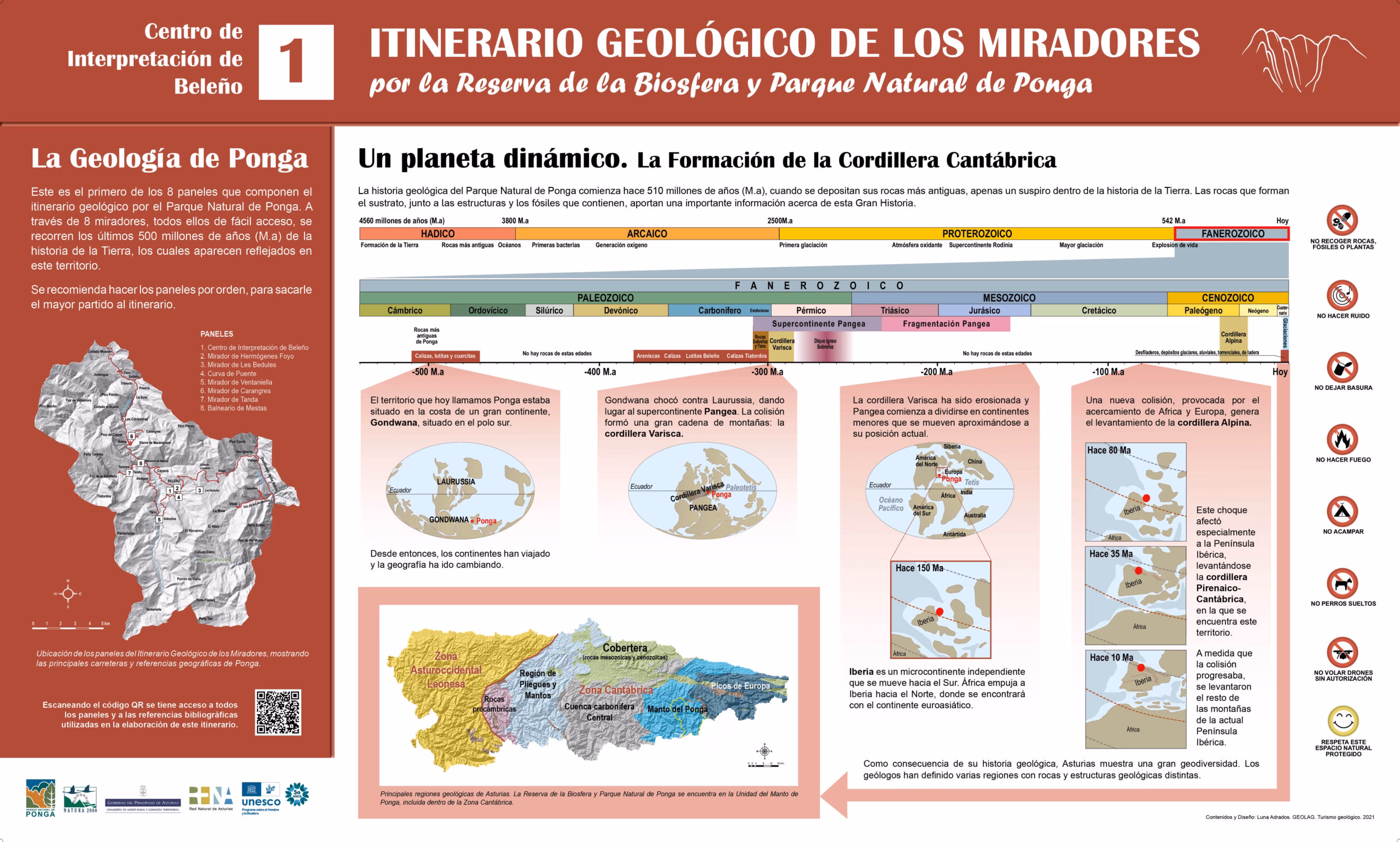
We produce interpretive panels, brochures, publications, geological maps, thematic cartography, and educational resources for viewpoints, educational centers, associations, active tourism companies, cultural entities, and natural areas.
Do you need to interpret a landscape or enhance the value of a territory?
GEOLAG can help you create interpretive panels, maps, publications, and outreach resources tailored to your project, educational center, entity, or natural area.
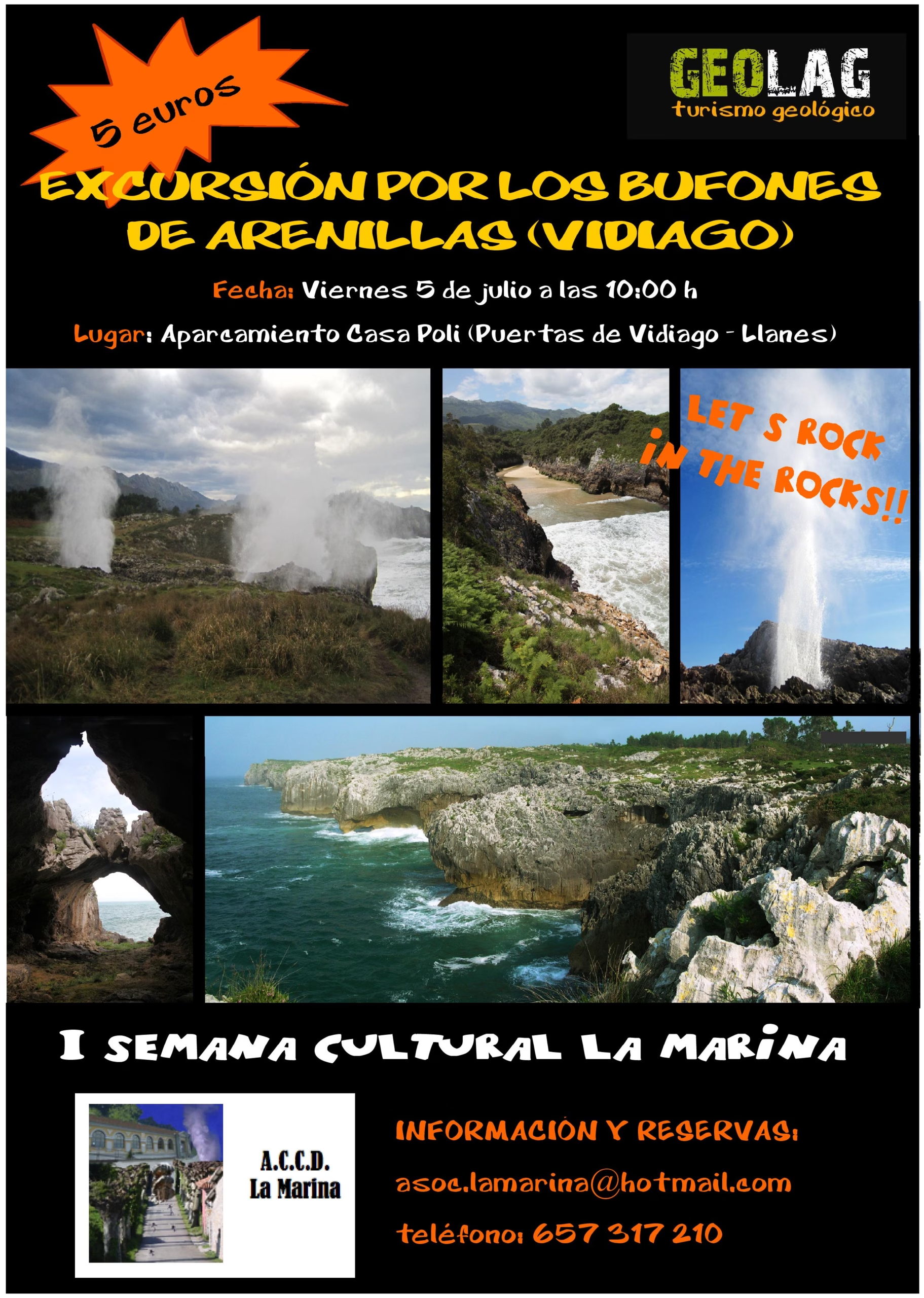
GEOLAG produces brochures, triptychs, posters, and outreach materials related to the interpretation of the natural, cultural, and geological values of a territory
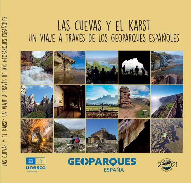
The work offers a tour of the main cavities and karst landscapes (reliefs formed by the dissolution of limestone rocks) located in UNESCO Global Geoparks in Spain.
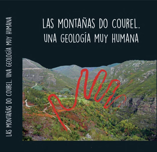
Collaboration on “The Courel Mountains: A Very Human Geology”, a key book, published in 2018 by the Montañas do Courel Association, which describes the deep interconnection between the unique geological history of this Lugo mountain range and human occupation from prehistory to the present day. The publication serves as a guide to the Montañas do Courel UNESCO Global Geopark, located in the municipalities of Folgoso do Courel, Quiroga, and Ribas de Sil.
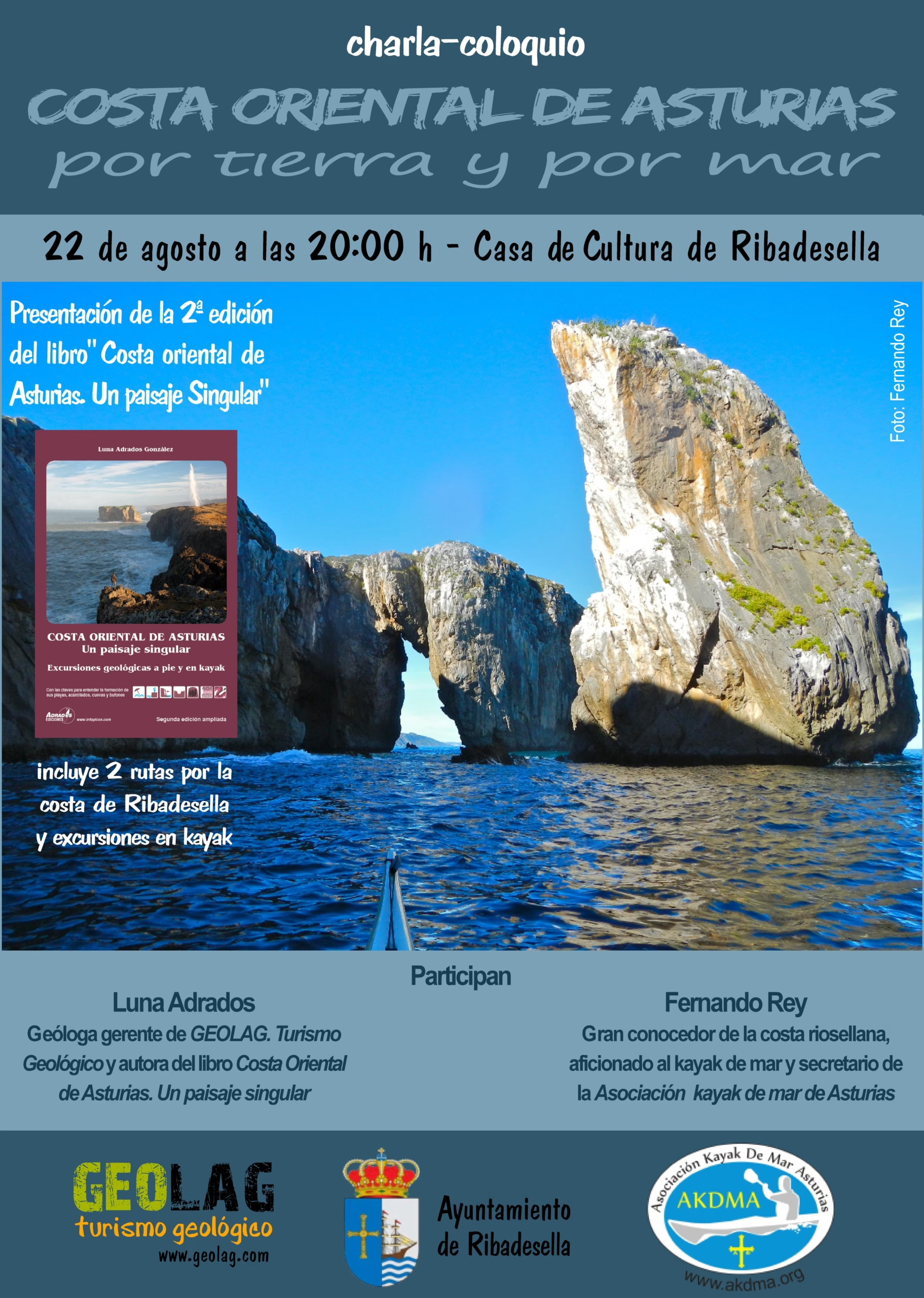
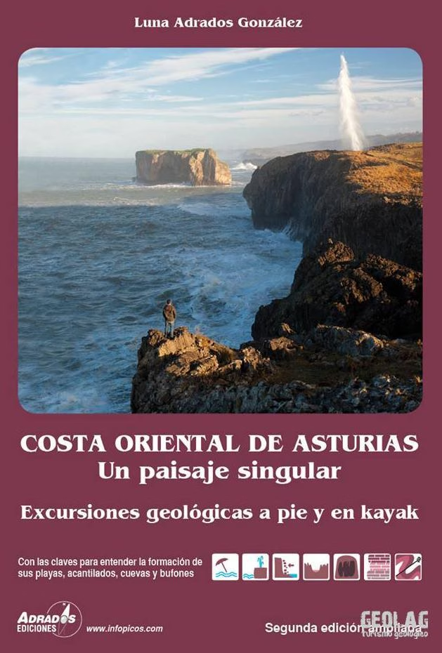
Eastern Coast of Asturias. A Singular Landscape
Geological guide to the eastern coast of Asturias with 13 hiking itineraries and 5 sea kayaking routes.
Full-color edition with over 300 pages featuring photographs, diagrams, maps, and illustrations.
Structured in three parts: theoretical introduction, itineraries, and glossary of terms. Second edition. Year 2014. Ediciones Adrados.
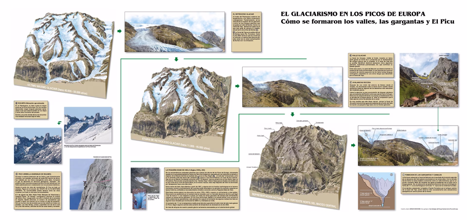
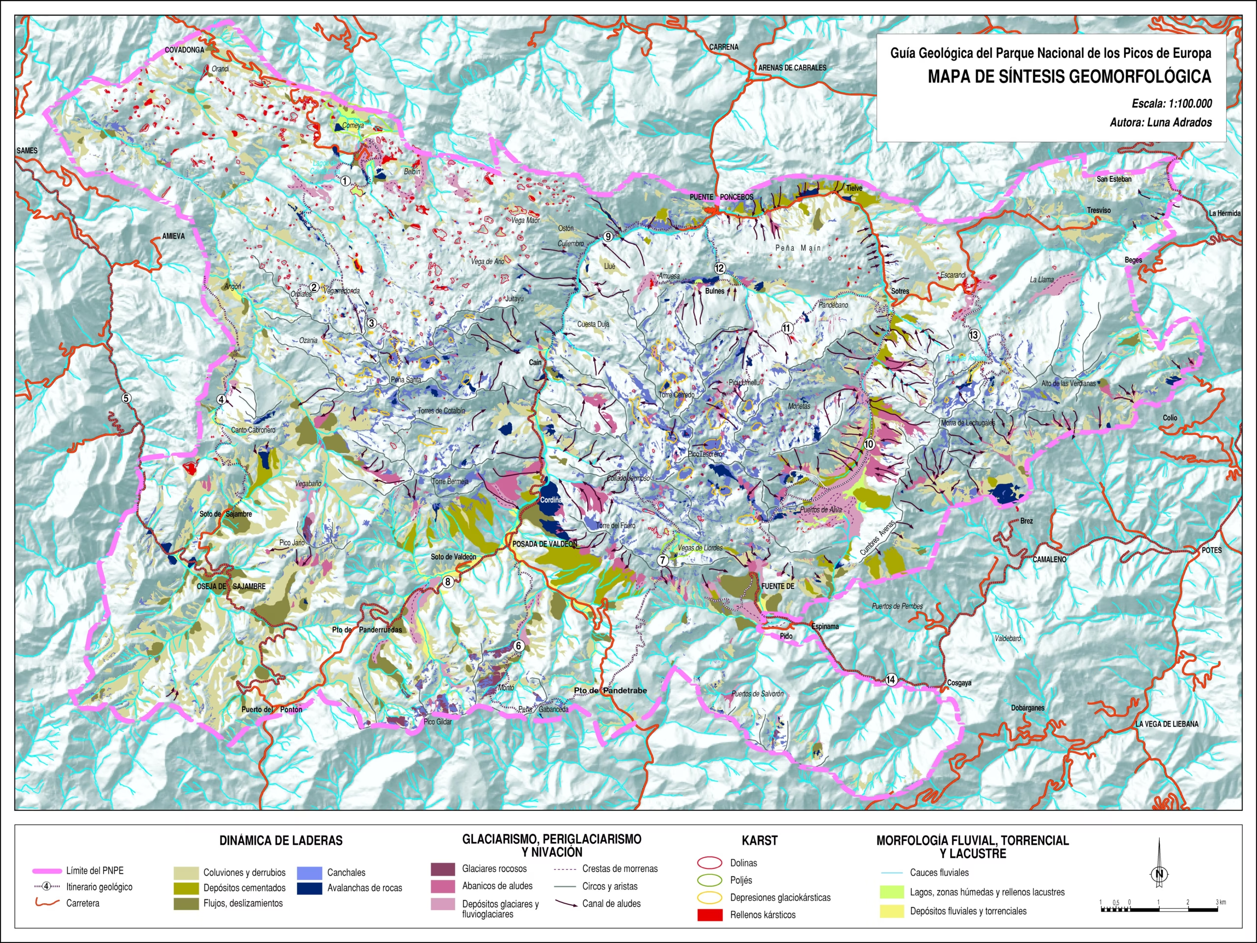
Geological Guide to Picos de Europa National Park
Geological guide to Picos de Europa with 14 hiking itineraries.
Full-color edition with 333 pages featuring photographs, diagrams, maps, and illustrations. Geological and geomorphological maps of the entire National Park in a foldout.
Structured in three parts: theoretical introduction, itineraries, and glossary of terms. Second edition. Year 2013. Ediciones Adrados.
GEO Out
Geological maps and cartography
Geographic information systems and thematic cartography
Maps and representations of areas of high ecological and tourist value
We produce geological and geomorphological maps and cartographic bases to represent areas of natural value, environmental routes, elements of tourist interest, geological processes, and interpretive resources of the territory.
GIS
We specialize in Geographic Information Systems (GIS), producing topographic bases adapted to different uses.
Thematic cartography
We produce geological and geomorphological cartography. Natural hazard maps (avalanches, floods, slope movements). Process maps (glaciation, karst processes)
To provide the best experiences, we use technologies like cookies to store and/or access device information. Consenting to these technologies will allow us to process data such as browsing behavior or unique IDs on this site. Not consenting or withdrawing consent, may adversely affect certain features and functions.
Functional
Always active
The technical storage or access is strictly necessary for the legitimate purpose of enabling the use of a specific service explicitly requested by the subscriber or user, or for the sole purpose of carrying out the transmission of a communication over an electronic communications network.
Preferencias
El almacenamiento o acceso técnico es necesario para la finalidad legítima de almacenar preferencias no solicitadas por el abonado o usuario.
Statistics
El almacenamiento o acceso técnico que es utilizado exclusivamente con fines estadísticos.The technical storage or access that is used exclusively for anonymous statistical purposes. Without a subpoena, voluntary compliance on the part of your Internet Service Provider, or additional records from a third party, information stored or retrieved for this purpose alone cannot usually be used to identify you.
Marketing
The technical storage or access is required to create user profiles to send advertising, or to track the user on a website or across several websites for similar marketing purposes.