Today’s route follows the PR-AS-284 short-distance trail known as the Senda de Samuel, named after Samuel Cachero Álvarez. Along with César Alonso, he promoted the idea for this route and was one of the most highly decorated police officers for his work in the fight against terrorism. This route was made possible thanks to the support of the Ribadesella Town Council and the Neighborhood Associations of Cuerres and Llames de Pría.
This is a low-difficulty circuit recommended for children aged 4 and up, with an elevation gain of barely 50 m. The route is 4 km long, which can be extended by another 3 km if you also wish to visit the blowholes and cenotes of Pría. The riverside walk will take approximately 2 hours, while the full route including the blowholes will take about 4 hours.
The trail starts in the village of Llames de Pría (Llanes), accessed via the LLN-17 local road. In the village square, there is an information panel providing details about the route, marking the circular path on an orthophoto map, and showing photographs of the most striking features along the way.
Mía Bridge
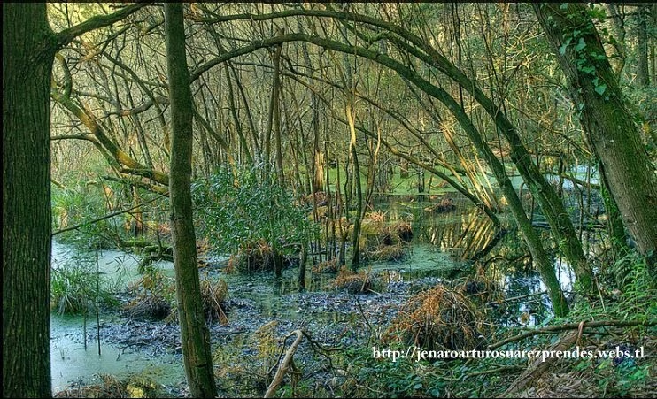
We take the road from Pría to Belmonte, known as the Camino del Río. After about 800 m, we take the track descending slightly to the right, which connects with the Northern Way of Saint James (Camino de la Costa). We walk for about 200 m until reaching the beautiful medieval Mía bridge, where a wooden gate allows entry to the Guadamía river meadow. This flat grassland was created by the river itself, as it absorbs excess water and sediment during floods.
The succession of repeated flood events over long periods deposits the load carried by the river, forming these fertile plains known as alluvial plains. A little further down, we see the meadow narrow, and to the left, there is a terrace in the terrain situated about 2 meters above us. This is an alluvial terrace created in former times when the river level—and therefore the sea level—was higher. This likely occurred about 6,000 years ago when the Cantabrian Sea was 2–3 m higher than it is today. This period is known as the Flandrian and occurred, among other reasons, as a result of the melting ice that covered our mountains at the end of the last great glaciation which, as we saw in our previous route through the Lakes of Covadonga, began 40,000 years ago.
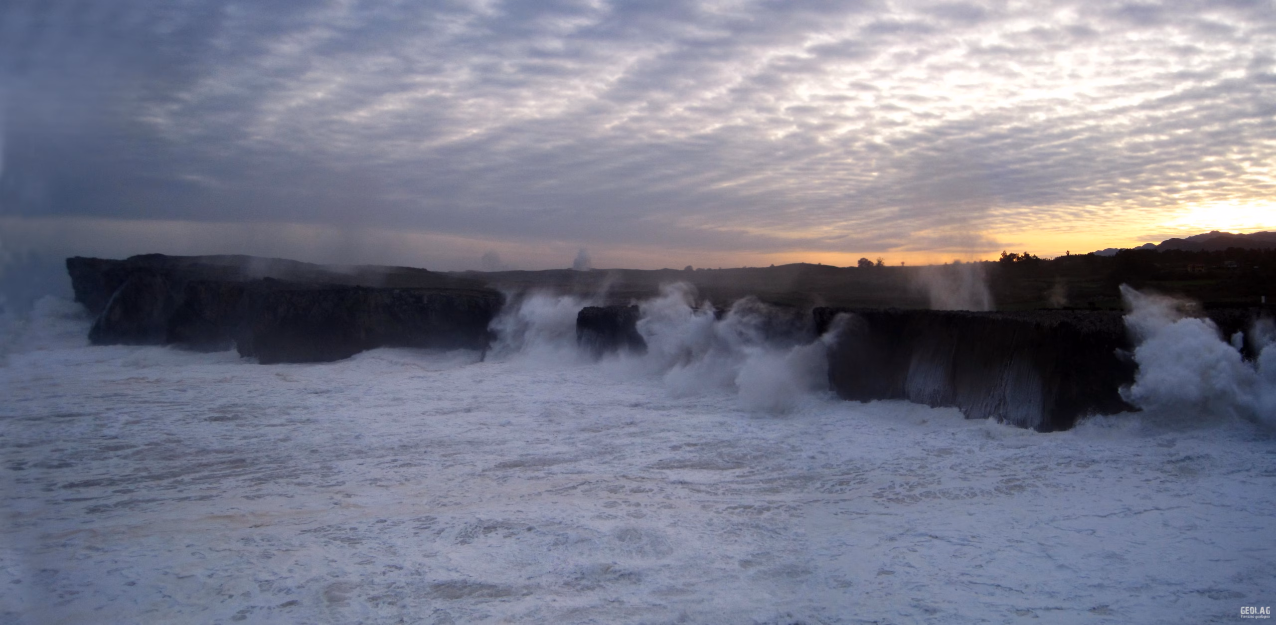
To adapt to this new base level, rivers deposited material at their mouths, and beaches were located at higher elevations than today. This is why we can now find beach deposits consisting of sand and pebbles perched on cliffs at these heights, as seen at the nearby Cuevas del Mar beach, in the vicinity of Nueva del Mar. At other points along the coast, and related to this period of high sea levels, concheros (shell middens) can be observed—accumulations of shells left by prehistoric humans at cave entrances. It is worth noting that 90% of such sites discovered in Asturias are located in Llanes.
The Guadamía River
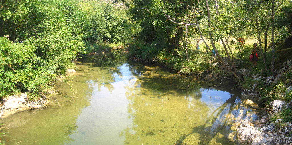
The entire route runs alongside the Guadamía River, the natural border between the municipalities of Llanes and Ribadesella. In eastern Asturias, the presence of permeable limestone means most watercourses are underground, making the Guadamía River special as its final stretch is entirely above ground from its source at the base of the Sierra del Cuera. In a limestone territory such as this, the waters are heavily laden with calcium carbonate, leading to the current formation of a special type of rock highly valued in construction: tufa or travertine. Thus, along the riverbed, we will have the opportunity to observe examples of travertine terraces that create pools and small waterfalls in the stream.
Another feature we can observe in the river are the giant’s kettles, rounded potholes formed by the erosion of transported pebbles. The pebbles spin in circles, as if in a washing machine, due to water turbulence. The friction of the pebbles against the riverbed creates these curious basins.
Would you like to discover this landscape with a geologist?
GEOLAG organizes educational routes adapted to families, groups and educational centers.
Request information about this route